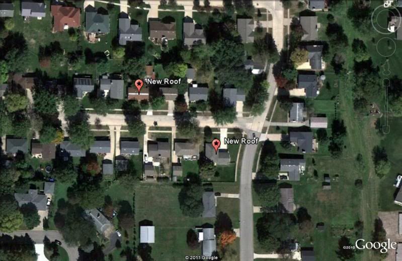
couldn't resist;-)
That would be the northeast quarter of the northwest quarter of Section 36, Township 84 North, Range 7 West. Not sure of the correct Principal Meridian or Base Line, but, they have been around since the early 1800's. Maybe about 1817 or so.
> 
>
> couldn't resist;-)
It is a subdivision in Marion, Iowa. aka Rich's house.:-D
Paden, it was good of you not to mark the exact house,;-) however I would bet that most who peruse this board could identify it within 30 minutes max, if they so decide.
> That would be the northeast quarter of the northwest quarter of Section 36, Township 84 North, Range 7 West. Not sure of the correct Principal Meridian or Base Line
The lot Mr. Cash is interested in is actually in the southeast quarter of the northwest quarter of Section 36, Township 84 North, Range 7 West of the 5th Principal Meridian. The quarter quarter line runs down the middle of the street, more or less.
> they have been around since the early 1800's. Maybe about 1817 or so.
If you're referring to the houses, mine was built in 1980. The others might be from the early 1800s. Maybe that's why two of them are getting new roofs today. Man, am I sick of the whap-whap-whap of all those air nailers. I hope they finish today.

> I would bet that most who peruse this board could identify it within 30 minutes max, if they so decide.
I would bet on 30 seconds.
That's easy. It's that one there with the muddy boots at the back stoop.
> That would be the northeast quarter of the northwest quarter of Section 36, Township 84 North, Range 7 West. Not sure of the correct Principal Meridian or Base Line, but, they have been around since the early 1800's. Maybe about 1817 or so
According to J.S.odds book _Original Instructions Governing Public Land Surveys of Iowa_, the township lines were surveyed by Geo. Harrison on contract let August 1837 and the sections were done by Thos. Weldon on contract let June 1841.
Hey, Rich
"Not sure of the correct Principal Meridian or Base Line, but, they have been around since the early 1800's. Maybe about 1817 or so"
I'm thinking this would be the same PM and BL as Missouri. Do you know when they were established?
Hey, Rich
Prospect K. Robbins began the survey of the 5th Principal Meridian on October 27, 1815, running north from the mouth of the Arkansas River. Joseph C. Brown began the survey of the Baseline on the same date, running west from the mouth of the St. Francis River.
Brown got to the Initial Point on November 2, 1815 but didn’t know it because Robbins, having a greater distance to run, had not arrived at the spot yet. Consequently, Brown kept going until he got all the way to the Arkansas River.
In his book, Initial Points of the Rectangular Survey System, C. Albert White gives the date of the establishment of the Initial Point as November 10, 1815.
The 5th Principal Meridian controls the surveys in Arkansas, Missouri, Iowa, North Dakota, the west 2/3 of Minnesota, and the east half of South Dakota.
Survey dates
The base line is down in Arkansas and is used all the way up through Minnesota, I believe, for township count although there are some odd sections at state boundaries and/or standard parallels or correction lines.
The 5th principal meridian is used, as it is in Arkansas and Missouri, but its longitude crosses part of Illinois and it is not used there. W.A. Burt was responsible for establishing most of the 5th PM in Iowa.
http://www.blm.gov/cadastral/meridians/meridians.htm
Both the base line and principal meridian were much older than the Iowa surveys.
For the particular land pictured, according to J.S.odds book _Original Instructions Governing Public Land Surveys of Iowa_, the township lines were surveyed by Geo. Harrison on contract let August 1837 and the sections were done by Thos. Weldon on contract let June 1841.
Hey, Rich
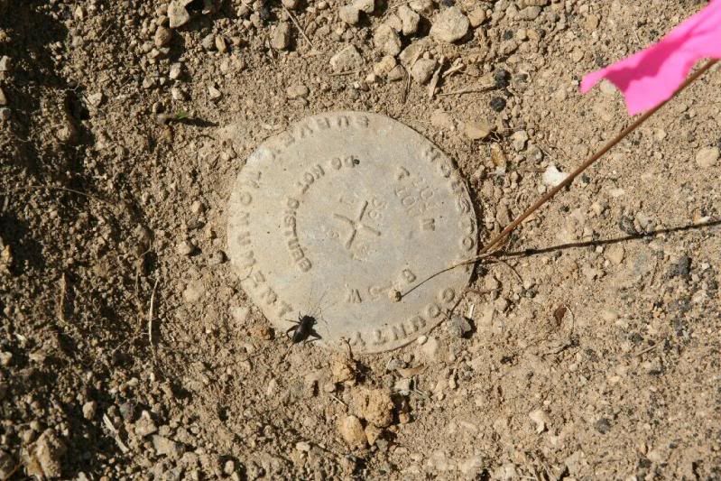
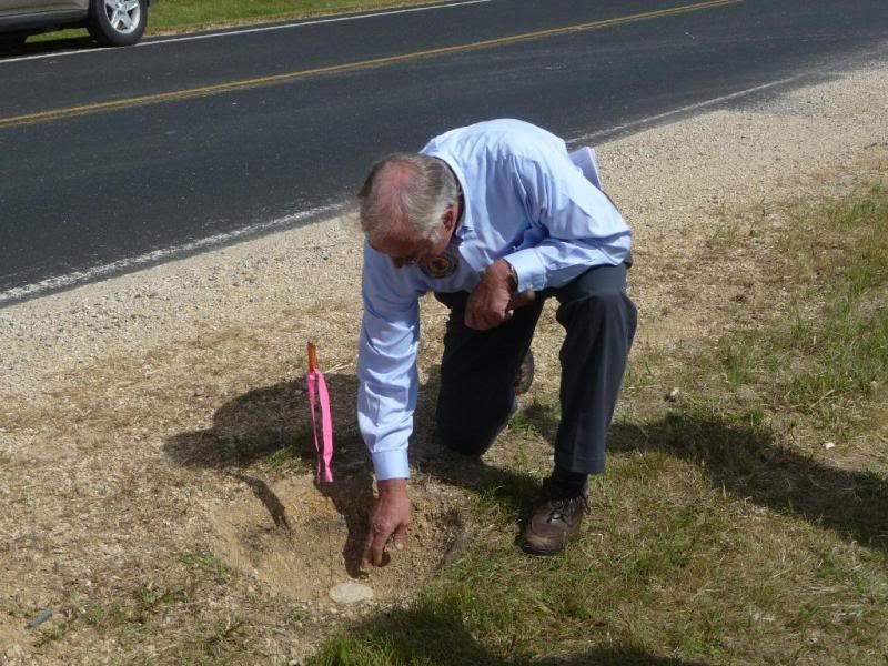
I have previously posted photos of the Initial Point for the 1852 survey of the Iowa-Minnesota border. The point was originally monumented with a 12” square oak post.

It is now monumented as shown above.
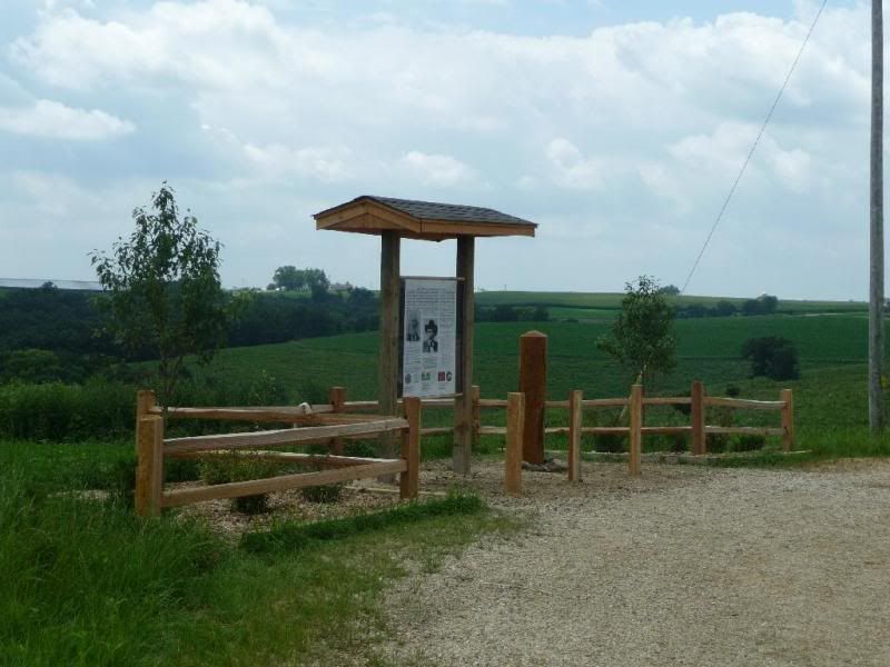
Last summer a group of surveyors from Minnesota and Iowa undertook to re-establish the oak post.

Since the point falls along the edge of a county road (see above), it was impossible to put the post at the exact location.

A pull-out and parking area were created and the post and an interpretive sign were placed as shown above.
Even though the PLSS surveys in North Dakota, the western 2/3 of Minnesota and the east 1/2 of South Dakota are tied to the 5th Principal Meridian, the Initial Point for those surveys is the point shown above, not the point in Arkansas.


