Activity Feed › Discussion Forums › Strictly Surveying › GLO Special Instructions
-
GLO Special Instructions
Posted by allen-wrench on November 15, 2023 at 9:43 amI have a situation where the original surveyors (circa 1870) appeared to have deviated from the typical procedures for subdividing a township, as evidenced on the plat, but no explanation is given as to why in the running notes. It’s an area on the plains where the surveys were very boring and straightforward, and I’m having trouble figuring out why they didn’t use the ordinary methods.
It’s kind of complicated to get into here, but I’m wondering if there’s any records that might explain why they strayed from the manual so severely – possibly in the special instructions, etc.? Is there a way to view the special instructions? Nothing in the plats or notes offers a hint of explanation.
MightyMoe replied 8 months, 1 week ago 3 Members · 5 Replies -
5 Replies
-
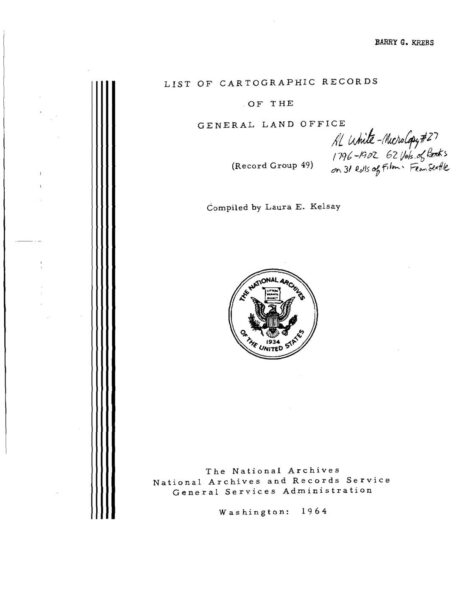
That was during the contract era (pre 1910). The issued contracts sometimes had correspondence associated with them if unusual conditions were encountered or specific instructions including deviations. The contracts along with the associated documents are typically in NARA. You can try to research online at their website ( https://www.archives.gov/findingaid/stat/discovery/49 ). Some of the records are available digitally whereas others may need copy requests submitted and a fee paid. Also attached are a couple of docs that may help you out. FYI, GLO/BLM are “Group No. 49” in NARA.
For curiosity sake what is the specific deviation that you are referencing?
archives.gov
Record Group 49 - Records of the Bureau of Land Management
Record Group 49 - Records of the Bureau of Land Management
-
Without putting out too much info on a public forum, here’s the high-level overview:
The GLO surveyors ran the north line of this township, with the field notes titled “the north line of township A”, setting the usual posts at 40 and 80 chains as they went. This line also happened to be the north line of an Indian Reservation boundary. The running notes for the south line of the township to the north (call it township B) are the exact same notes. None of this is unusual so far, of course. Then, a couple years later, they proceeded to subdivide township A, and as they closed their lines on the north line of the township, they treated the north township line as a standard parallel (which it’s not) and set closing corners instead, which all ended up about 6 chains east of each of the corners called out as that township’s section corners, per the running notes of the north line.
The typical procedure would have been to run a run a random line from the SE corner of Section 2 (for example) towards the NE corner of 2, and adjust it to be a true line between the two. Instead, they just ran due north, and closed on the township line, not connecting to what they had previously established as the NE corner of Section 2, as called out in their field notes.
I can’t find any explanation in the notes or plats as to why they did this, but I assume it’s because they were so far off from closing on those corners, for whatever reason. I don’t understand what is the NE corner of Section 2 – is it the corner they set and called the NE of 2, or the closing corner 6 chains east of that?
-
From the sounds of it I would guess you are correct about the large error they discovered so they corrected it during the tp sub prior to patents being issued. The correct NE of sec 2 would be the CC set during the Tp subdivision. The reservation bdy was treated as a standard parallel due to the discovered chaining error. Being 6 chains it was likely a “tally error” (5 ch increments) during the orig survey.
All in all it comes down to the Common Grantor aspect. The Gov “owned” all of it and could survey it however they wished until the first patent is issued. The current survey at the time the patent was issued controls, hence the NE of 2 would be the CC if I am correct in my assumption on patent issuances.
Of course without all of the info there could be some nuance that would change my opinion.
-
I’ve never seen an instance like this where what they originally marked and called the section corner was disregarded in favor of another closing corner. In other words, they set a corner called the NE of 2, and another called the closing corner to Sections 1 and 2. It would be nice if they issued some kind of memo or whatever to say that the first corners marked on the township line are to be used for Township B only.
-
The reservation boundary is treated as a senior line to be closed on, happens often, even inside a township with completion surveys. I wouldn’t sweat it, treat the CC as you normally would and soldier on. Special instructions should be found through the local BLM office.
-
This reply was modified 8 months, 1 week ago by
 MightyMoe.
-
This reply was modified 8 months, 1 week ago by
Log in to reply.


