
Activity Feed › Discussion Forums › Strictly Surveying › GEOID18 – Use it or not?

I believe they could easily add a button to an OPUS SHARED submittal that would bring up a form to enter a ONE TURN elevation eccentric (i.e. BS BM-FS ECC, break setup, BS ECC-FS BM). So they are worried that someone isn’t doing it correctly, or that it is not a two mark tie? Well the latter concern is no different than using the BM itself without checking it against another BM. And the first concern is no different than relying on someone to correctly measure an HI.
I think they could get a LOT more useful occupations if they would implement some type of mechanism to be able to transmit eccentric observation in a way that requires no additional work at the OPUS end other than verifying that it fits, same as they do now for a direct occupation. While it may be easy to find an occupiable BM in AZ or NV, it is not so easy in PA, WV, etc. And as Bill93 states, many of the set vertical marks (buildings, bridge piers, etc) are some of the most stable marks out there. Certainly more stable/reliable than a concrete post in a frost prone area that hasn’t been leveled to in decades.

The way things work nowadays is that federal agencies are not given enough resources to do what they are mandated to do. Instead they either ??beg? for help like in the GPS on Benchmark campaign or the work does not get done. Many states have risen to the challenge of maintaining their geodetic infrastructure; others have not.
Given this state-by-state approach to establishing, maintaining and enhancing geodetic control, we see states with dense, current control networks like in your neighbor states of Maryland and New Jersey and lesser levels of participation in Pennsylvania and New York.
Modeling sparse, varying density and quality data is tough. How much influence on the corrector surface the dense data from MD and NJ have on PA is something I do not know. It has been years since I even attempted to do such work. Given the backgrounds of the NGS researchers, I have confidence my fears are overblown. But still…
Given that the deterioration of the vertical network has culminated in no NAVD heights to tie via GPS in many areas is unfortunate. While suggestions like those of Bill93 and John Hamilton regarding offset GPS observations would be useful, they are insufficient to deal with the problem of no available NAVD88 points on which to make GPS observations.
I do NOT know if NGS is able or willing to consider innovative solutions outside its existing system of assimilating data. Whether states like PA have vertical control points tied to the national network (but not submitted to NGS) that could be used is one idea? Perhaps worthy of a discussion with the NGS Regional Advisor?
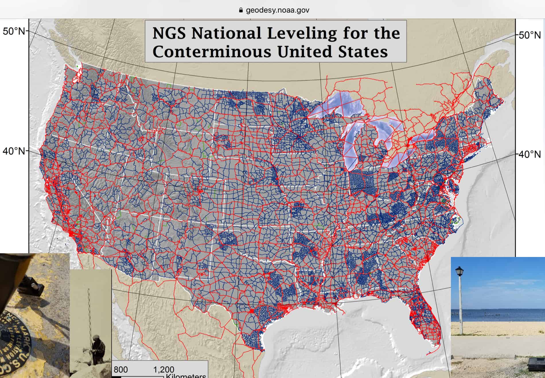
To be obnoxious, I attach screen captures (from: https://geodesy.noaa.gov/web/science_edu/presentations_library/files/gpsonbms_feb2019_ngswebinar.pptx ) showing the NAVD 88 network once existing in PA and the level of participation in the GPS on BM campaign.
I recollect discussions about the use of the crosshairs on digital levels. Basically the argument was that they were used for pointing and not to be viewed as an accurate reflection of the instrument??s level plane. In other words, if I have a digital level set so that my crosshair is at the level of the vertically set BM it might not be at the instrument??s level plane.
My recollection was that the solution to this dilemma was to acquire specialized 10-cm level staffs to observe rather than using the crosshair.
Whatever correspondence I had on this issue was lost about two or three computers ago.
Perhaps it is my training (and resistance to shortcuts) but I would like to see some record of a collimating check when using the technique suggested.
BTW, I always remember the description of bureaucracy by one of my professors: ??It is a repository of expertise.? While it may be possible to obtain a standard without following existing specifications, you need to show and prove you met the standard.
I use a 50 cm invar strip to level to vertical marks. Very lightweight and easy to use. Even putting a regular rod on is not terribly difficult. Another way when by myself is to use a total station, shoot reflectorless, then put the gps on the same setup. Total station=0.196 m above tribrach plate, ARP=0.032 m above (when using seco adapter)
Somehow it seems overkill to try and use specs that will give sub millimeter accuracy in a level transfer for a GPS survey that is probably +/- 0.01 m at best


Log in to reply.