
Activity Feed › Discussion Forums › Strictly Surveying › Beech Boundary

No need to reinvent the wheel. There is no reason to think the tree isn’t like any other natural boundary.
 Posted by: linebender
Put away your measuring tools boys. The deed says the tree is not included. End of story.
Generally, habendum clause can’t vary courses in the body of the description. What happens when the tree is gone? When the map disappears? When both are gone?
No tree, no map; based solely on the deed I think the line is straight. Just to be contrary.
- Posted by: Duane FrymirePosted by: linebender
Put away your measuring tools boys. The deed says the tree is not included. End of story.
Generally, habendum clause can’t vary courses in the body of the description. What happens when the tree is gone? When the map disappears? When both are gone?
No tree, no map; based solely on the deed I think the line is straight. Just to be contrary.
If the “map” is gone the deed will be gone too. They are recorded in the same place.

The deed is wrong since the beginning point of course 6 does not continue from the ending point of course 5. The tree has to be accounted for. And since a 30″ tree as described had a northern portion North of the common lot line, the South owner cannot retain ownership of the whole tree. There would need to be a conveyance from North to South to make the deed non ambiguous.
I say with the tree gone, the ambiguous deed means the arc goes away. In PA this is resolved by holding all bearings (all 5 courses) and adjusting distances, first accounting for monuments found, the tree no longer being a monument.
Paul in PA
- Posted by: Paul in PA
The deed is wrong since the beginning point of course 6 does not continue from the ending point of course 5. The tree has to be accounted for. And since a 30″ tree as described had a northern portion North of the common lot line, the South owner cannot retain ownership of the whole tree. There would need to be a conveyance from North to South to make the deed non ambiguous.
I say with the tree gone, the ambiguous deed means the arc goes away. In PA this is resolved by holding all bearings (all 5 courses) and adjusting distances, first accounting for monuments found, the tree no longer being a monument.
Paul in PA
“The deed is wrong“, are very strong words. That conclusion can only be reached as an absolute last resort.
“I say with the tree gone, the ambiguous deed means the arc goes away.” That’s a novel approach to a natural monument. Have you seen any court come to a conclusion like this?
“In PA this is resolved by holding all bearings (all 5 courses) and adjusting distances” Resorting to formulaic steps is again an absolute last resort and does not allow you to ignore parts of a deed.

The slate terrace is a monument. Since the math doesn’t work very well (and even if it did) the edge of the terrace would control.
It seems clear that the intention was to clear the encroaching terrace in exchange for the tree. The bargain is both owners get a boundary coincident with their possessions, north gets their terrace, and south gets the tree.
Dumb way to do it but I get what they are doing.
I would’ve suggested describing a boundary at least a foot or so around the tree but that would’ve required two Deeds, south to north, and north to south. I mean probably, the tree may not exactly be where the bunged up description places it.
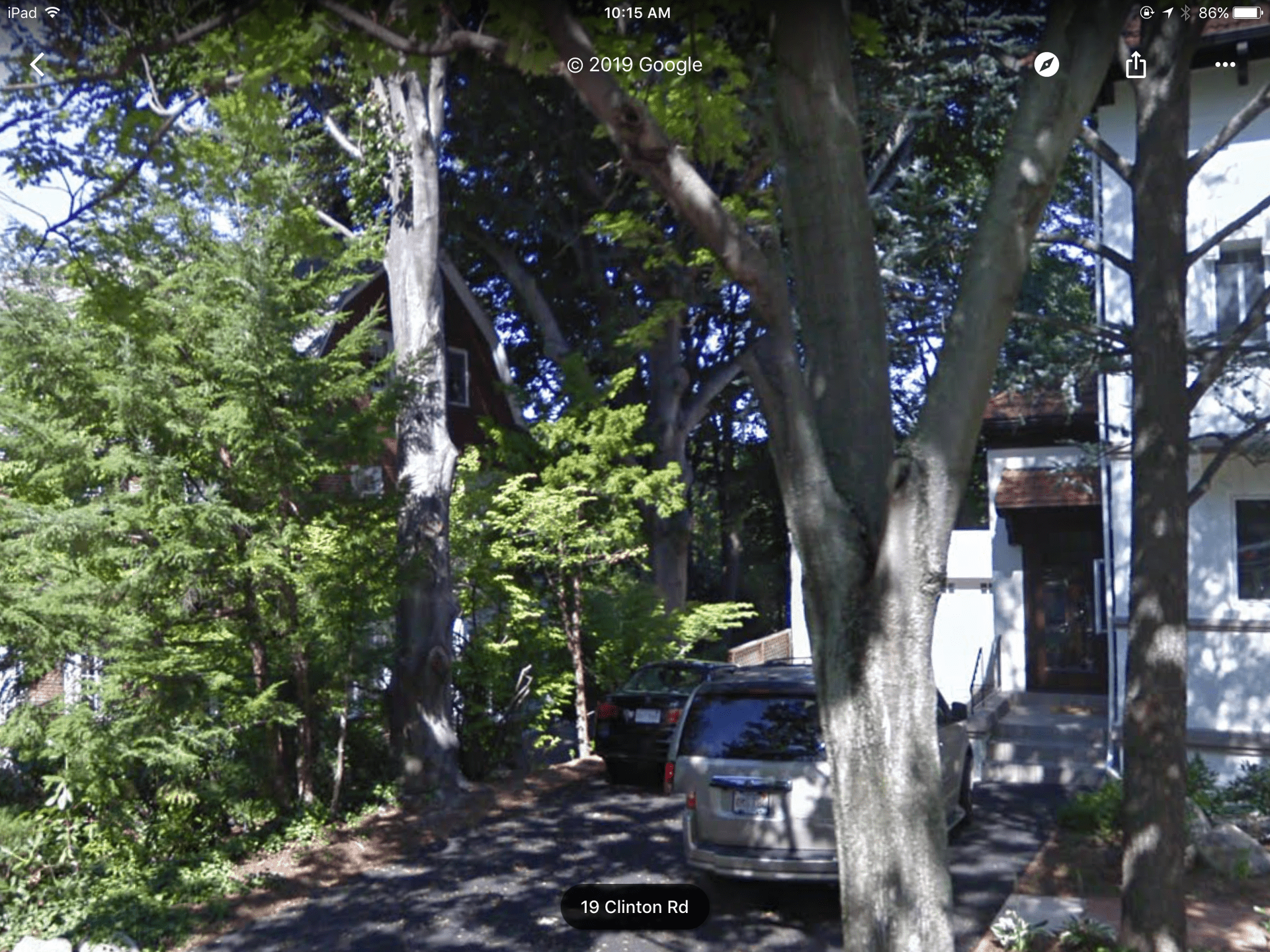
It looks like the tree is still there. The car is in the driveway of No. 11. There is an 11 on the house (not visible in the photo). Looks like an expensive neighborhood. Large modern house across the street.
Google Earth satellite image shows the tree gone.
Since the tree reference is not in the body of the deed description, with the tree gone it has no weight, course 5 and 6 become one course and the distance changes. Had the tree arc been inserted as a deed course between 5 and 6 it would require different analysis. The deed does not close by any account so legally based formulaic steps are required.
Paul in PA
The tree clause reads like an exception to me. The style of the writing is amateurish (could be a DIY) but that doesn’t mean the retracing surveyor can ignore it.
- Posted by: Paul in PA
Google Earth satellite image shows the tree gone.
Since the tree reference is not in the body of the deed description, with the tree gone it has no weight, course 5 and 6 become one course and the distance changes. Had the tree arc been inserted as a deed course between 5 and 6 it would require different analysis. The deed does not close by any account so legally based formulaic steps are required.
Paul in PA
Do you always ignore exceptions?
A misclosure does not mean you resort to a legal formula when the deed contains perfectly good bounds, even if the bounds are unusual, written in an unprofessional manner and seem silly to you. The landowners had a reason to put in the exception for the tree. We are not at liberty to ignore their words.

The Google Earth overhead image is dated 4/22/2018 – prior to our deciduous trees leafing out. It’s tough to see if there are any spindly deciduous branches above the short conifers in that shot. The street view is Sept. 2009, so it’s possible the tree may have died or been cut down since then.
I’m with aliquot and Dave Karoly on holding to the tree as a natural monument. It is clearly shown on the plan, and the plan is referenced in the deed. You have to interpret the two together as harmoniously as possible. The lot misclosure is aggravating, but not fatal to the inclusion of the tree as defining the boundary.
- Posted by: Peter Lothian
The Google Earth overhead image is dated 4/22/2018 – prior to our deciduous trees leafing out. It’s tough to see if there are any spindly deciduous branches above the short conifers in that shot. The street view is Sept. 2009, so it’s possible the tree may have died or been cut down since then.
I’m with aliquot and Dave Karoly on holding to the tree as a natural monument. It is clearly shown on the plan, and the plan is referenced in the deed. You have to interpret the two together as harmoniously as possible. The lot misclosure is aggravating, but not fatal to the inclusion of the tree as defining the boundary.
I appreciate an interesting problem. If someone disagrees with me, I learn from that. I might even be wrong or have an incorrect conception and I like to find that out.
The map shows the arc around the tree with curve data but that didn’t make it into the description which is clearly 2-1/2′ short. It would’ve been helpful to include the chord bearing and distance to clarify.

It’s a ‘beech’ of a job, Peter! (sorry, couldn’t resist!)

Log in to reply.