
Activity Feed › Discussion Forums › GNSS & Geodesy › 2012 Thread "Geodetic North Line" ?

Ooops…didn’t mean to do that.

If the coordinate system isn’t geographic or ECEF, it’s most likely grid. SPC is a flavor of grid, but not all grids are SPC. All grids have convergence, SPC or otherwise.
I may be wrong, but Carlson data collection doesn’t allow users to work in geographic coordinates in real time.

John Hamilton, post: 389322, member: 640 wrote: Ooops…didn’t mean to do that.
John, You may know this, but if you catch a bad post quickly enough you can delete it. I don’t know how long the window is.

Shawn Billings, post: 389325, member: 6521 wrote: If the coordinate system isn’t geographic or ECEF, it’s most likely grid. SPC is a flavor of grid, but not all grids are SPC. All grids have convergence, SPC or otherwise.
I may be wrong, but Carlson data collection doesn’t allow users to work in geographic coordinates in real time.
Won’t let you work in geographic, or won’t let you see geographic?

John Hamilton, post: 389320, member: 640 wrote: Take a polaris observation to a reference mark. Turn the angle to north (astronomic or geodetic if you use the laplace correction). Then use the double centering procedure (do people still remember how to do that?) to run the line north. At the north end, take a check observation to Polaris.
I was thinking exactly the same thing.
You have a convenient star up there, use it.
I did a science experiment…I turned a baseline off of Polaris and corrected astronomic to geodetic using the LaPlace correction. Then I observed with L1 GPS, processed and converted the grid bearing to geodetic. They agreed within 2″.

@dave-karoly Dave: I know your comment in this thread was from almost four years ago, but I’m curious if you recall how long your baseline was (total station and target set up on the same pair of points as the GPS receivers?), what GPS equipment and processing were used, and what the terrain and sky views were like? Thanks!
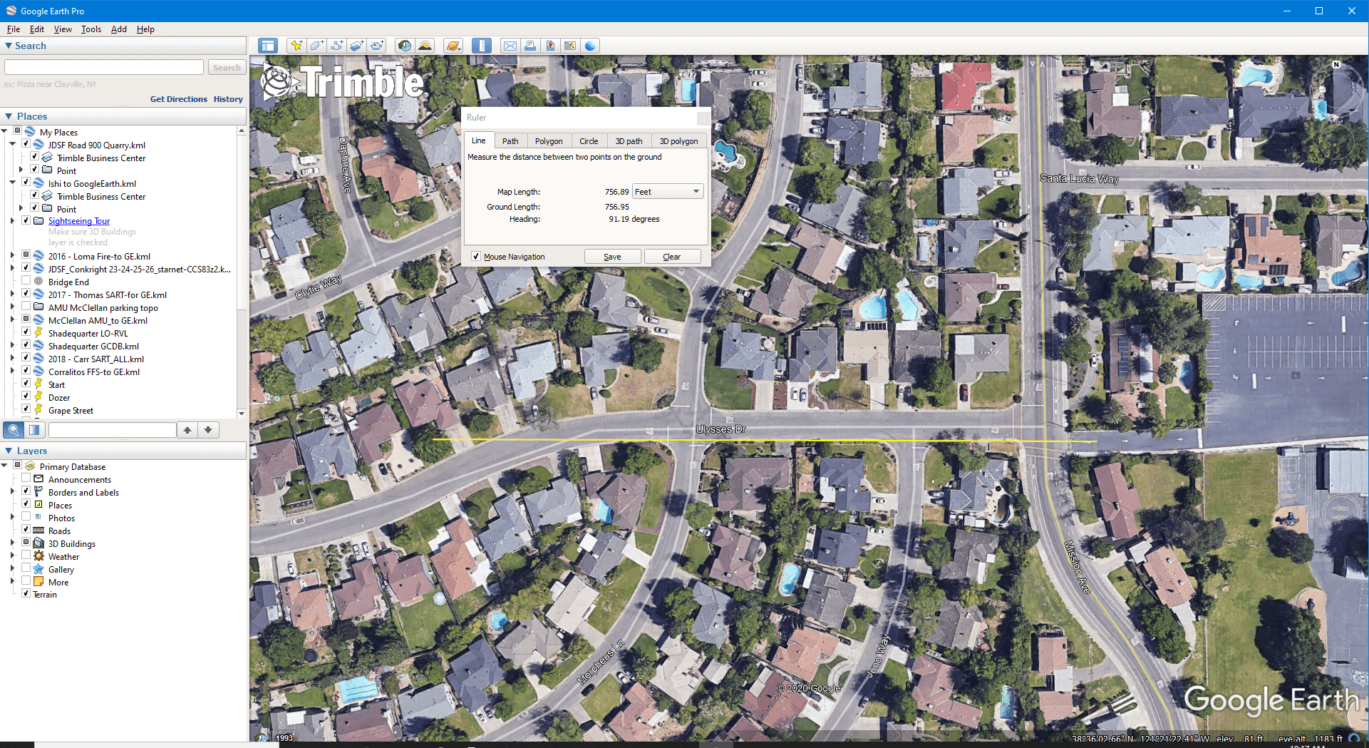
The base line was about 750 feet. I setup over a 12″ spike in my front yard looking east down the street to a drive into a school parking lot. We don’t own that house anymore.
I used my Topcon GPT3005LW manual total station for Polaris. I don’t own it anymore.
I used my ProMark 3 single frequency receivers in Static mode processed in GNSS solutions. I don’t own them anymore either.

Do you remember what the laplace correction was?
Currently the horizontal laplace is 5.62″ per DEFLEC09.
@dave-karoly Thank you for the information, Dave. It’s very cool that you took the time to perform the comparison.

@tom-adams Right said
 Posted by: @cf-67
Do you remember what the laplace correction was?
Latest:
https://www.ngs.noaa.gov/GEOID/DEFLEC18/computation.html
.

Log in to reply.