This is an interesting record that was set this summer. The record for the longest 'ground to ground' photo. What does that mean? Its the record for the longest distance a photo has been taken of another point on Earth. That new record is 443 km (275 miles).
https://beyondhorizons.eu/2016/08/03/pic-de-finestrelles-pic-gaspard-ecrins-443-km/
Scroll down and check out the photo and the map.
It seems that the photographer used the quirks of Atmospheric Lensing to photograph around the curvature of the Earth.
Like they mention towards the bottom its a record that will probably be broken soon. Especially when you combine the geek empires of photography nerds and geography otaku.
That is pretty cool. There is a high spot on Oklahoma SH325, somewhere around 36å¼48Ûª00Û N lat., 102å¼48Ûª15Û W long. at which, on a clear morning, one can see with the naked eye both Capulin in NM and Fisher's Peak near Trinidad, CO. Both are pretty close to 200 kM from the spot.
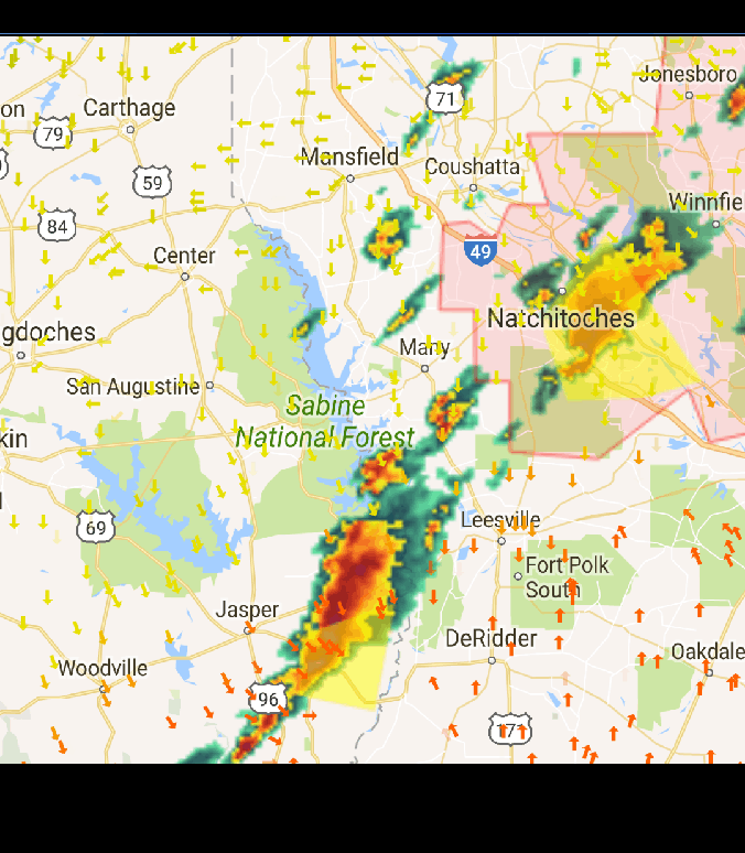
About 2 weeks ago I was headed home from Kaufman right at sunset. When I make the curve at Kemp on Hwy 175 there is a fairly long stretch of highway at Cedar Creek Lake that is straight. I could see the top of a thunderstorm straight ahead of me. It was not just a flash in the sky, I could see the lightning in the cloud 15 - 20 times a minute and could see the outline and structure of the cloud. The storms had moved out of our area the night before and was supposed to stay well to the East of us.
I pulled up the radar on my phone and saved a screenshot. When I got home I pulled up Google Earth and drew a straight line on the highway projecting it until it hit the storm East of Jasper. Measuring that line, the thunderstorm was 175 miles away. I didn't think that was possible, especially in East Texas with the humidity. I guess the storms the night before cleaned the air and sucked out all the humidity and haze.
James
JaRo, post: 403928, member: 292 wrote: ...I didn't think that was possible, especially in East Texas with the humidity. I guess the storms the night before cleaned the air and sucked out all the humidity and haze.
175 miles away is a pretty long view. The tops of the storms must have been around 50K feet. I have seen the tops of thunderstorms in the Denton, TX area from Norman, OK. That's probably around 125 or so miles away.
[USER=20]@paden cash[/USER]
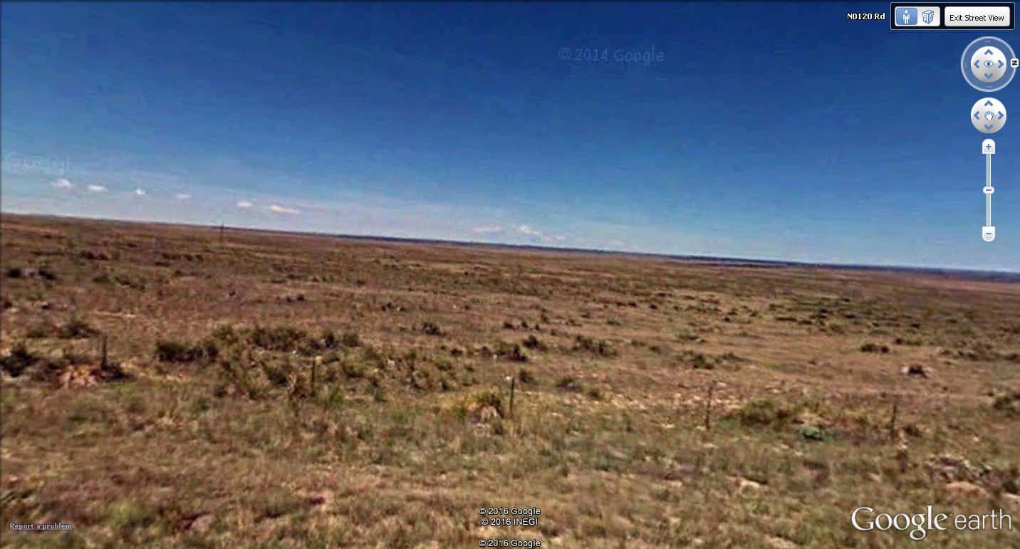
Here's the view (if you can call it a view) from your hilltop.
This is about one mile north of the Santa Fe Trail Cimarron Cutoff, nine miles from Autograph Rock and close to 17 miles from the extreme northwest corner of Oklahoma.
Been there, seen that, several times. More likely to see antelope than any other critter except prairie dogs.
Holy Cow, post: 403932, member: 50 wrote: [USER=20]@paden cash[/USER]
Here's the view (if you can call it a view) from your hilltop.This is about one mile north of the Santa Fe Trail Cimarron Cutoff, nine miles from Autograph Rock and close to 17 miles from the extreme northwest corner of Oklahoma.
Been there, seen that, several times. More likely to see antelope than any other critter except prairie dogs.
There's about enough land in that photo to feed maybe one head...You'd have to put Nikes on your cattle so they could jog from sprig to sprig.
True. They also need 55-gallon drums of water strapped to their backs with long sipping tubes so they can survive the long trek from the first little pool of water to the next one somewhere near the horizon.


