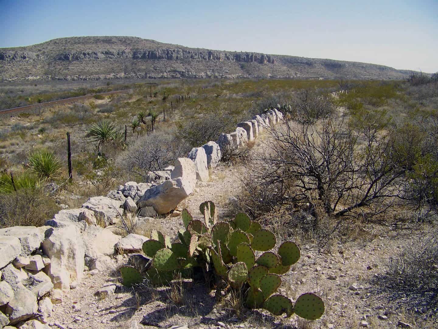
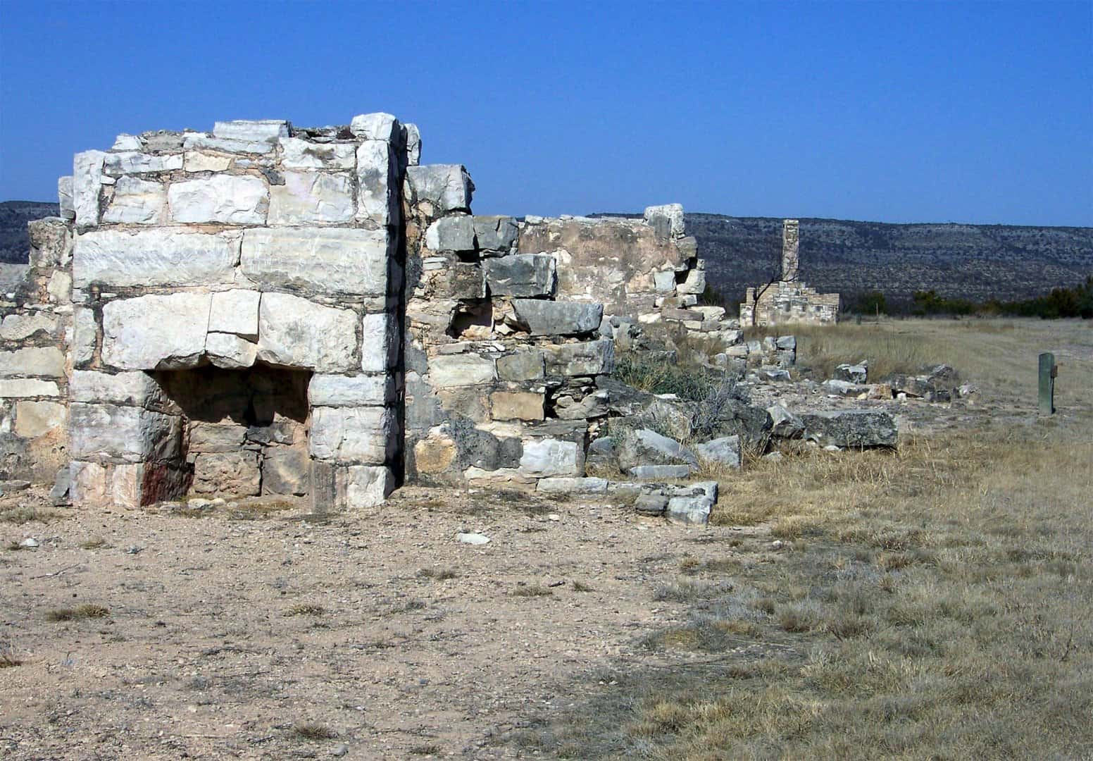
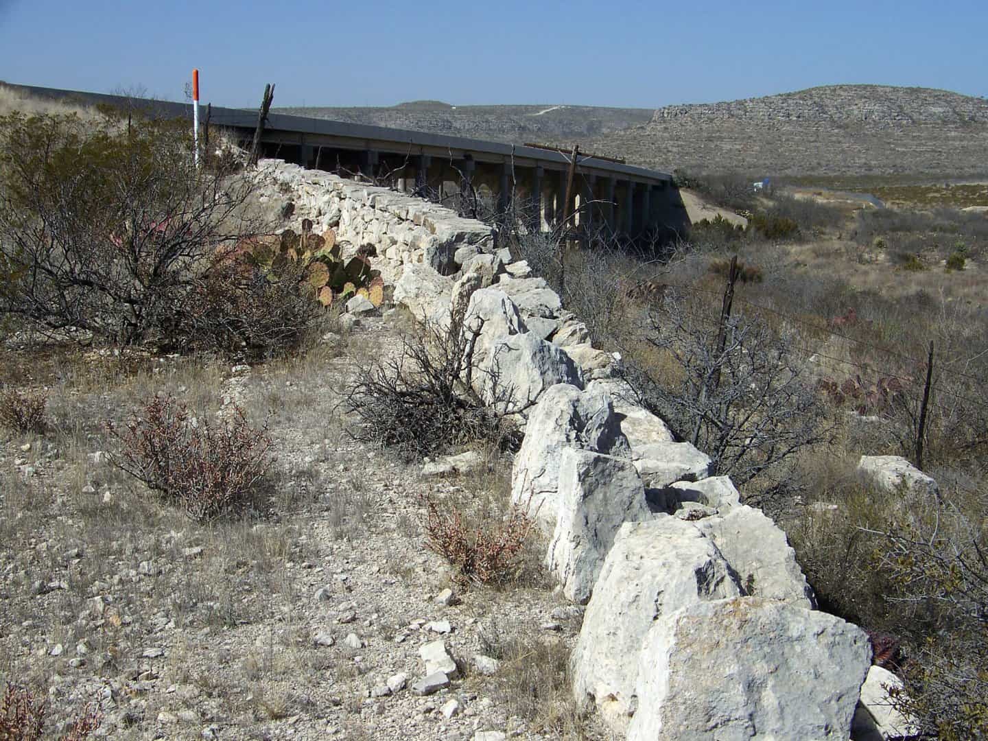
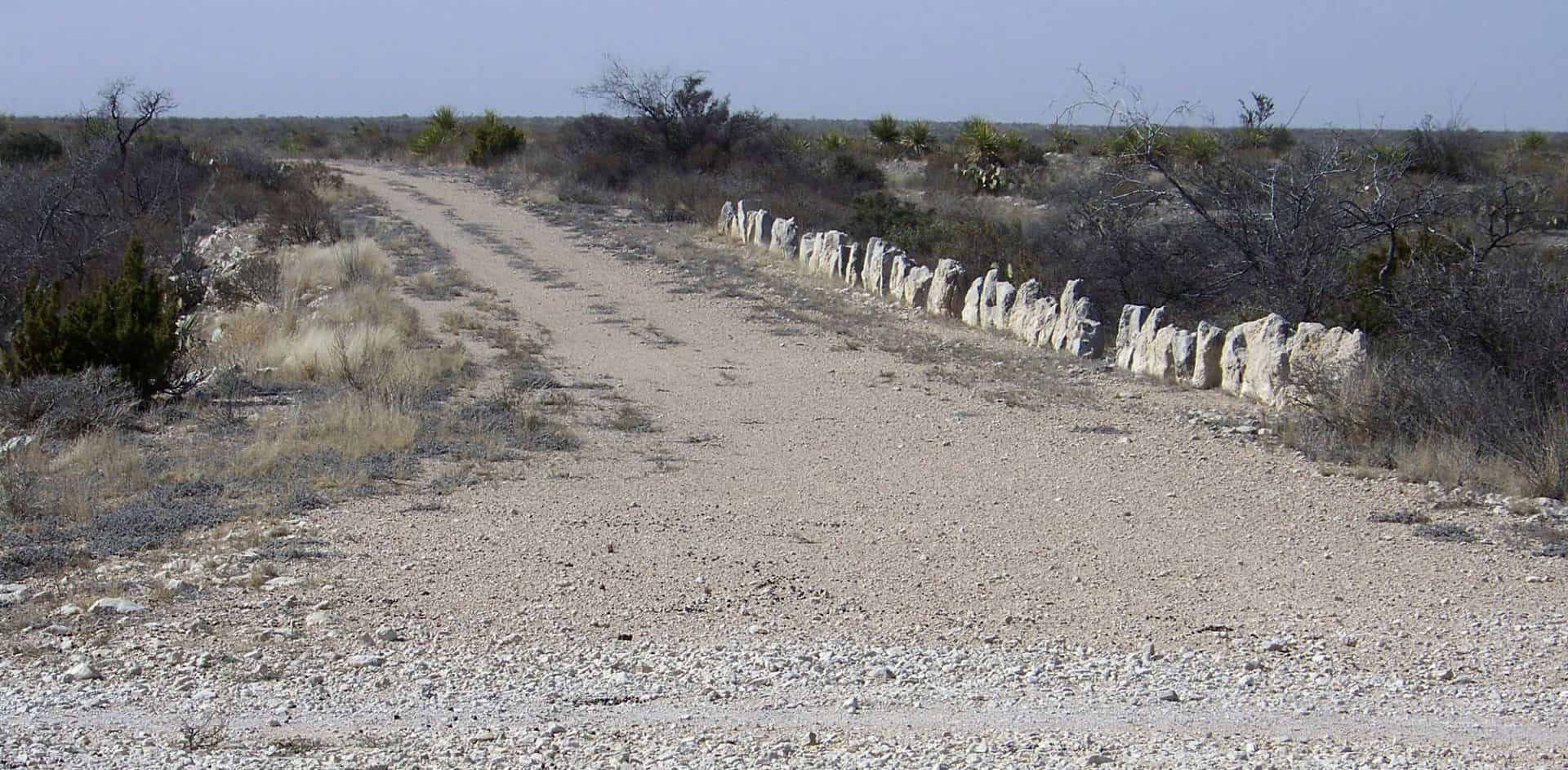
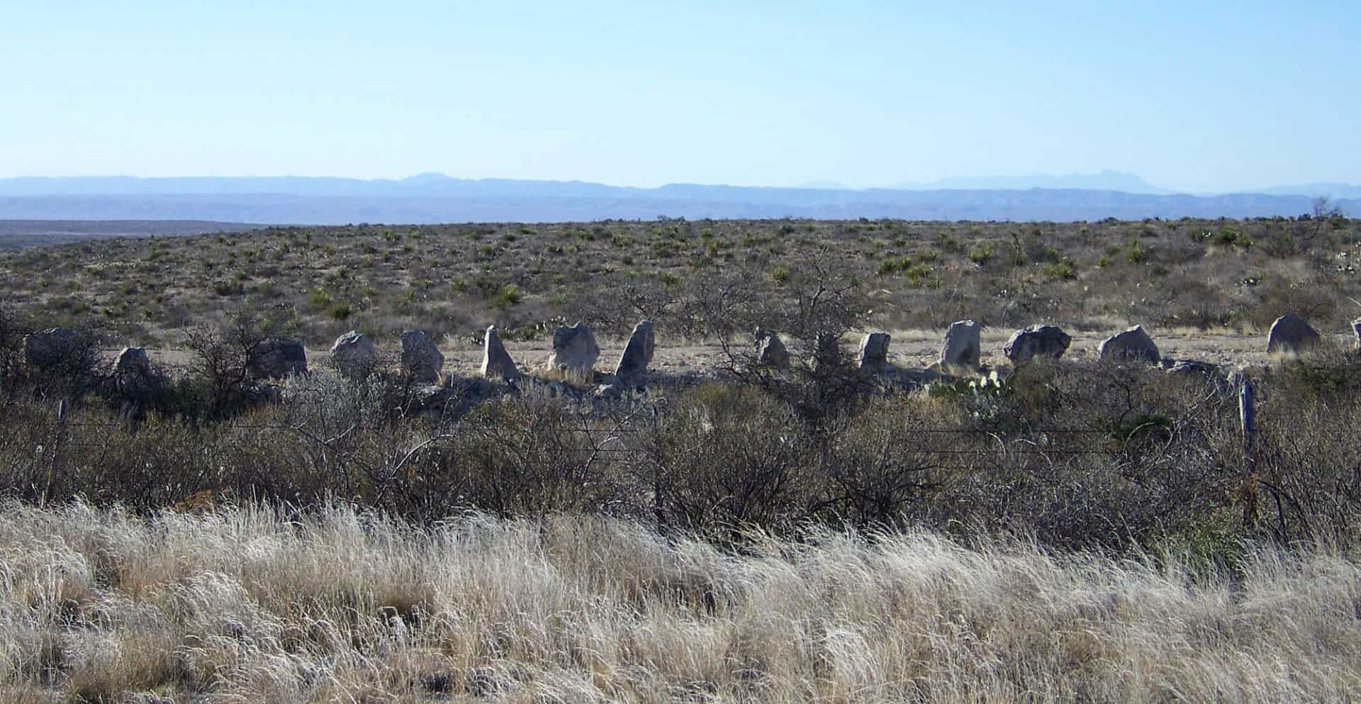
I'm going to go out on a limb and suppose that there probably is NOT an AASHTO standard for guard rails of the planted stone variety as seen in the photo below. This was taken along a segment of the old Sanderson-Dryden highway that was replaced by US Hwy 90 sometime in the late 1950s (I think).
OK Kent, since nobody's asked yet, I'll be the first....does the "delineation" occur on the roadway side of the stones, or the back side? Or maybe it's some yet uncalculated distance from the engineer's original centerline....;)
paden cash, post: 420122, member: 20 wrote: OK Kent, since nobody's asked yet, I'll be the first....does the "delineation" occur on the roadway side of the stones, or the back side? Or maybe it's some yet uncalculated distance from the engineer's original centerline....
The old Sanderson-Dryden Highway was probably laid out in the 1930s and, considering the regular geometry of its curves as they appear in aerial imagery, was surveyed on the ground, I'd bet. Considering how well pine hubs last in that country, I wouldn't consider it to be impossible that there are pine hubs in rock mounds remaining in place at some of the CL PIs that fall outside of the right-of-way. The standing stones are obviously established delineator posts that must be respected if the highway is ever opened again. Don't let anyone tell you differently.
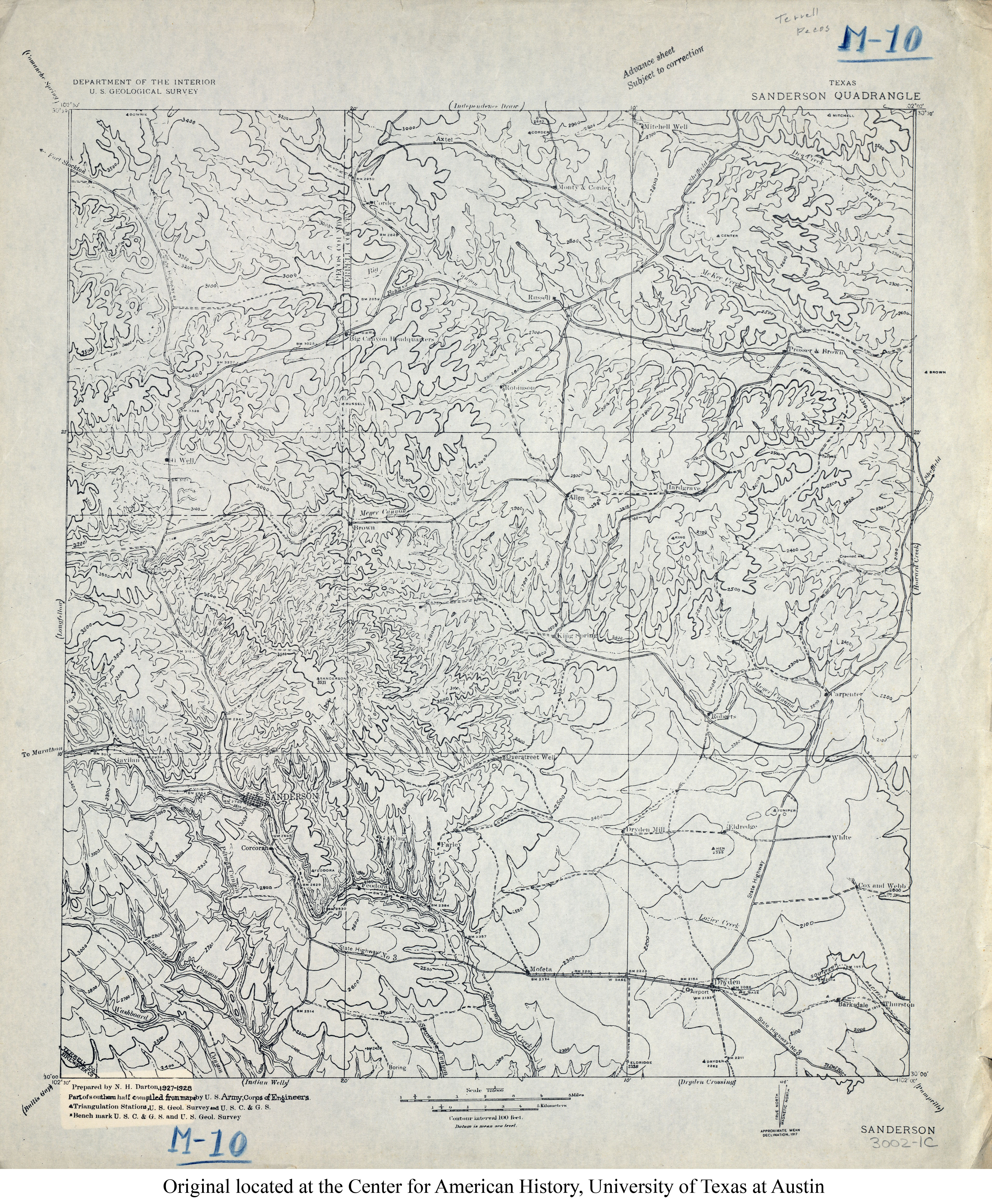
Edit: Actually, that is probably the remains of State Highway No. 3 that appears as a graded road on the 1:125,000 Map of Sanderson Quadrangle dated 1927-1928.
Footnote: The Texas Hwy Dept right-of-way map for this section of US Hwy 90 is dated September, 1943 and was approved in July, 1946. So apparently State Highway No. 3, designated as a branch of the Southern National Highway in about 1917, was the highway in use until then, standing stones and all.
That looks like a very austere environment to be moving stones around. Was it constructed by a prison road gang or a forlorn WPA crew?
Robert Hill, post: 420176, member: 378 wrote: That looks like a very austere environment to be moving stones around. Was it constructed by a prison road gang or a forlorn WPA crew?
My guess would be the wife of the one rancher that lived up that road. She got tired of pulling his drunk ass and wrinkled truck out of the ditch. Moving 80 pound stones day in and day out was far easier than getting him to quit drinking.
Robert Hill, post: 420176, member: 378 wrote: That looks like a very austere environment to be moving stones around. Was it constructed by a prison road gang or a forlorn WPA crew?
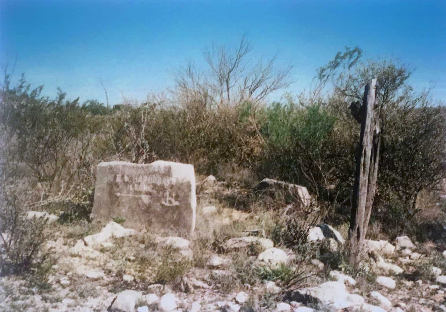
Well, considering that the hills are covered with similar limestone slabs, I tend to doubt that they had to be moved very far. One of the best things that I've seen in the field was a large planted slab of limestone with "E.R. Hargraves & Sons" chiseled into the stone above the Rocking H brand that Hargraves used and an arrow pointing toward the headquarters about four miles away. It stumped me at first because it was about a mile off the highway, but then I realized that the caliche road I had thought was a pasture road was the highway between Dryden and Sheffield back in the 1930s when Hargraves was ranching.
