Suggest a new resource
Have a new resource to add? Let us know about it here. Note: If you'd like to get credit for your contribution, please make sure you are already logged in to your RPLS.com account.
Suggest a new resource
Have a new resource to add? Let us know about it here. Note: If you'd like to get credit for your contribution, please make sure you are already logged in to your RPLS.com account.
Reading RPLS is free for the whole profession. Members post, reply, and get the members-only rooms.
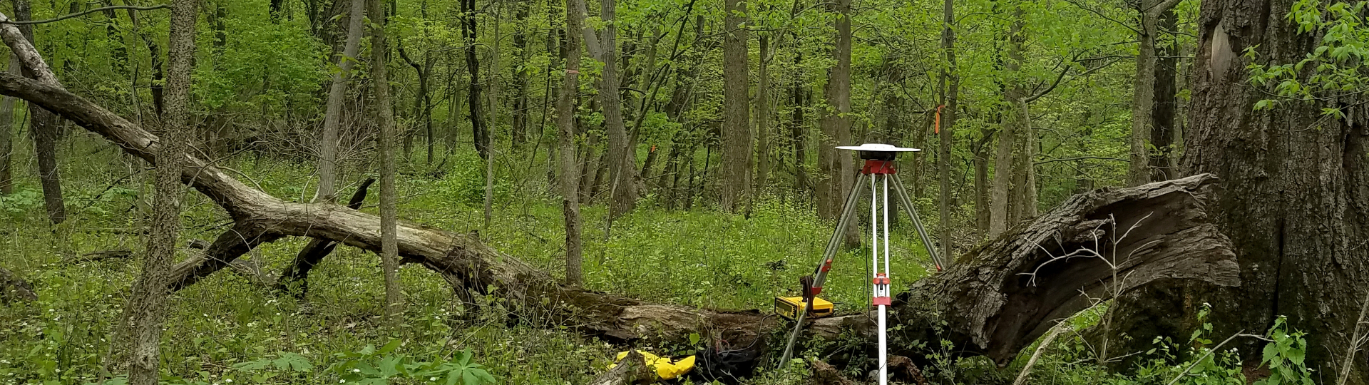

Two-year diploma in geomatics engineering technology — collecting and applying spatial data with GIS, GPS and remote sensing.

BSc in geomatics engineering using positioning, GIS and remote sensing to solve spatial problems.
