
Activity Feed › Discussion Forums › Strictly Surveying › Tree Location

You don’t miss what you don’t have to start with. Some people are addicted to the smell of the open sea. Wouldn’t recognize it.
Have one fellow in our area who owns several thousand acres and keeps buying more. First thing he does is hire a spray plane to kill every tree on his latest acquisition (and some on the adjoiners). I have a stretch of fence that borders him. It had a fairly healthy stand of hedge trees along it until he bought the adjoining land.

I’ve done trees down to 3″ and thought that was a little silly but 1.75 seems ridiculous.

At the county, we survey trees to determine who owns them. These are normally large oaks. All the ones I’ve surveyed are in neighborhoods, between the front of walk and edge of pavement. The oaks lift up sidewalks, thereby causing a trip hazard for pedestrians. Recently, the county has been replacing pieces of sidewalk where such hazards exist.
MH
@holy-cow It is not uncommon for communities to require developers to mitigate the effects of thier project. We do it with wetlands, trees, permeable area, etc. Some of it even makes sense…

- Tree surveys and tree mitigation plans have been old hat around here (Portland) for at least 25 years. For as long as I’ve been doing topos I’ve just considered them part of the topographic mapping. I must say that 1-3/4″ is mighty small. 6″-8″ DBH is the usual limit around here.
- They take awhile, but maybe not as much as the OP may be thinking. I see no reason for the surveyor to be PO’d about it. You aren’t being asked to do it for free, are you?
- While it is handy to know at least a few of the more common species of tree there will be an arborist following up your mapping. So the main thing is to identify the tree on the map in a manner that allows the arborist to reference individual trees is sufficient.
- There are some species of trees that are considered “weed trees”. Trees that grow fast and die young. Around here these include Alders, Cottonwoods, Mountain Ash, Bitter Cherry, and Vine Maples. These are pretty much cleared without much discussion, unless they are associated with wetlands, as these species often are, in which case there is a separate discussion. Then there are Big Leaf Maples and Garry Oaks, which may or may not be considered valuable. There are “high value” trees such as Cedar and Douglas Fir, particularly the larger ones, which will be of much concern. Then there are rare trees, like Yew, that are non-negotiable.
- A logger’s diameter tape is a handy thing to have. But even with one 10 surveyors will get 10 different measurements.
- A property owner is allowed, indeed expected, to keep his/her property maintained. So, subject to local regulations in place, it may be completely normal and prudent to engage in a tree thinning program before getting on with any tree surveying. Indeed, it may well be money well spent to just generally mow the undergrowth before trying to proceed with topographic mapping. Trees that don’t exist at the time of survey won’t have to be mitigated. Nudge, nudge, wink, wink.
Can agree that there are exceptions to every rule. On rare occasions regulations might actually benefit someone other than politicians. The problem is when the so-called beneficial regulations are nothing more than “go to Hell” written in fancy words. Usually this protects those who are currently powerful against those who might make changes to the status quo.

It’s still a foreign idea to me that a property owner might not have the right to plant and cut trees at will.
.As far as cutting it seems like a completely worthless law. I’m sure if anyone really wants a tree gone then all they have to do is say the wind knocked it over, or lightning hit it, or it was diseased so it was removed. Is a city gonna babysit every tree out there? No way.

@bill93 It’s because larger trees affect adjacent landowners; they can block solar/viewshed access if planted, and mature ones help define a community’s “vibe”. There’s lots of restrictions on urban/suburban parcels; consider no junk cars in yard, no RVs in driveway, building height/size restrictions, no chickens, the list goes on. The one that kills me is no clotheslines. I would never buy property in an HOA subdivision.
Cutting down a big tree on others property could (will?) result in thousands of dollars of damage, much more than the value of the timber, and cutting down one on your property could result in heavy fines if you don’t obtain a ($$) permit.

Tree location requirements described by the OP are pretty common around here. I do the same as Larry, ID the ones I know and leave it to others to nail down the rest. My tree tables typically have a lot of “unidentified” entries.

Jaysus H. I just got a project where we have to locate 4″ or larger diameter trees in the yard area, and 12″ and greater in the woods, and I’m dreading that. But 1.75″…..????, what the hell

Tree surveys have been part of the game in Westchester County for at least the last 25 years. Some towns required the numbered tags, most just locations with diameter and species. My proposal states I will show trees with estimated diameter and common name, if known. As Jim notes above, the survey often has trees that are “unknown,” which is generally not a problem, as the fussier municipality will send an expert out to verify things and they seem to enjoy showing the ignorance of the surveyor.
Use a biltmore stick for a while and you will get very good at guessing diameters. On the very large, prominent ornamental, say a copper beech or oak, I measure the circumference and do the math, as that tree is likely to undergo scrutiny.
I have tried the many ways to keep track of the trees, flagging, paint, kiel, guessing, but found that marking them with this:
https://www.forestry-suppliers.com/product_pages/products.php?mi=12311&itemnum=57050#
works very well. The paddle leaves a circle of white chalk (beware of the more permanent colors) about an inch in diameter. Unless we have torrential rains, the mark lasts a few weeks and then fades away. Clients do not seem to care that you marked their trees. It is easy to carry and use, saving a lot of grief.
Ken

Locating 1.75″ diameter trees in a part of North America that hosts the greatest diversity of species is absurd. It is a light form of regulatory taking that is especially awful because the regulators will do next to nothing with the useless data.
The ones I’ve preformed made no point distinction (when there was even a point system) between a dieing 30″ yellow polar and a healthy 30″ black cherry. A few checked for salt tolerance but had no metric to gauge the proximity to salt. I’ve never had an arborist check my work.
I don’t begrudge people cashing in on voter apathy and the resulting regulatory creep. I just dislike being a part of a wasteful process. In most cases, tree survey requirements, as I’ve experienced them, are an unnecessary expense that helps to prevent upward mobility. To a millionaire developer they are nothing. To the first time small business owner they’ can be devastating.
Agree that the data obtained is rarely used at the level of precision the surveyor is expected to apply on every single big twig within the region. In my corner of the world the heavy equipment is going to erase 95 to 100 percent of those documented to exist. They don’t need a tree survey to tell them much of anything. Perhaps a listing of those over two-foot diameter would be beneficial. Anything smaller will disappear and anything bigger will be listed as a cost item due to removal effort required. On rare occasions, trees that the developer/owner can easily identify on their own will be saved and plans altered to work around them.
One job I did not get (praise the Lord) years ago wanted four inch and up located on a tract of about 100 acres when the construction would only occur on about five of those acres. They also wanted the Latin names. Fuggit aboutit.

i’m not gonna jump into the moral/political arguments regarding the tree survey requirements, but for any of y’all finding yourself suddenly having to comply with this unfamiliar task, i’ll gladly volunteer to come shoot a full tree survey for you and show you how efficiently and enjoyably it can be done.
you buy the gas or airfare, and i’ll come out and let you follow me around for a few hours or a few days- whatever it takes.
here’s the full list of tools and supplies you’ll need that you may not already carry around:
-tree tape
-tree tags (flagging and a permanent marker can be subtituted)
-1″ roofing nails
-claw hammer (a 3 pound sledge works too, but not nearly so well)
-tree i.d. book for your area (most likely issued by a state parks department or a state university- this book will likely become extraneous to your personal needs after a handful of these jobs, but always good to have).
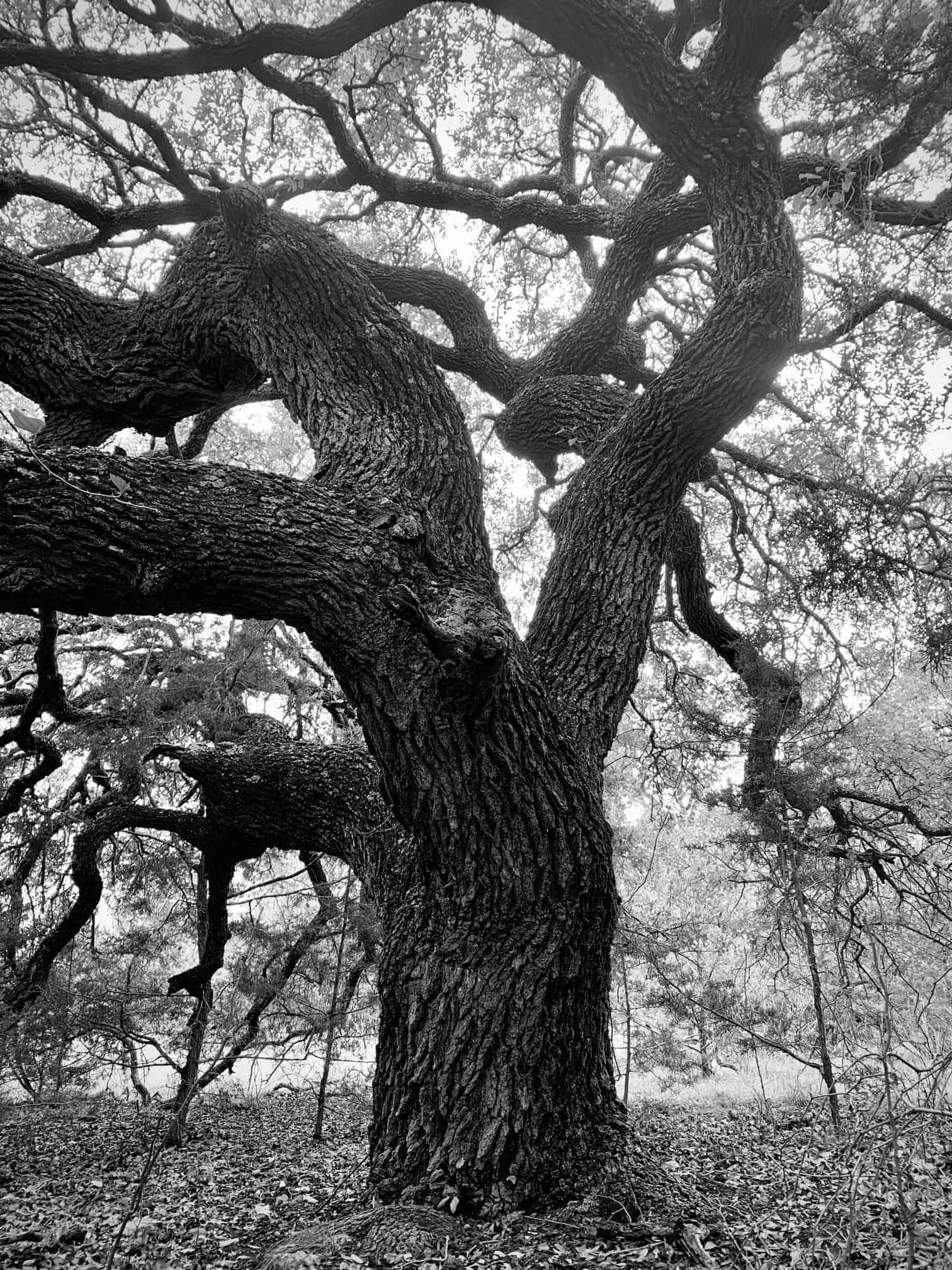
you can call it stupid or hate the work if you like, my advice in that case would be to decline the work. i, for one, find tree surveys to be right at the top of the enjoyability scale for field work. this live oak, for instance, came on the wrap-up walk of the ranch survey i posted about in the pics thread the other day. wasn’t part of the survey, but i’d bet dollars to donuts that i wouldn’t have walked up to check out this remarkable tree without years of being compelled to take an interest.
Do you have a system to add half the diameter to your shots or do you sort of skip that little detail?
@jim-frame
likewise in captivate. can either left/right or in/out. or you can shoot the offset D, put the prism on line, and hit “store”.

@flyin-solo it is not the tree survey that I have a problem with as much as it is the having to locate everything 1.75″ and up. If it were 6″ and above it would be tolerable. As an example I am working on a job in another county that if I had to locate every tree on the property it would take me the better part of a week as it is extremely thick and overgrown, and the property is on an acre or so.

When the highway in front of the Havensight Cruise Ship Dock in St. Thomas was going to be rebuilt, there was a huge outcry over saving the row of huge mahogany trees. So when I got the job to map the road for EFLHD, I carefully located them as accurately as I could. I took at least 4 shots around each trunk. 3 Years later when I staked out the new road for construction, on 1 of the 4 design sheets the trees I had located were missing and the curbs went through the trees. The contractor redisigned the layout curves by eyeball to save most of the trees. It doesn’t look too bad now. The grades on that project were another story. Someone apparently got confused between grades in decimals and grades in %. So the centerline profile was designed at 0.004%. The superelevations created lakes. So the contractor once again redesined it by eyeball engineering.

Log in to reply.