
Looking for help understanding Railroad Val Maps
Prefacing this w/ my understanding of certain aspects of retracing railroad boundaries. GENERALLY the alignment used to control the R/W is not the alignment of the physical tracks, because GENERALLY the physical tracks are spirals through the curves and the curves on Val Maps and in original acquisition documents are simple curves. That being said, it is very common in my neck of the woods to find fences and survey monumentation within the curves being record distance from the center of the physical tracks. Looking to avoid a rabbit hole about the varying thoughts on this.
I’m looking for clarification/opinions/thoughts on this specific item:
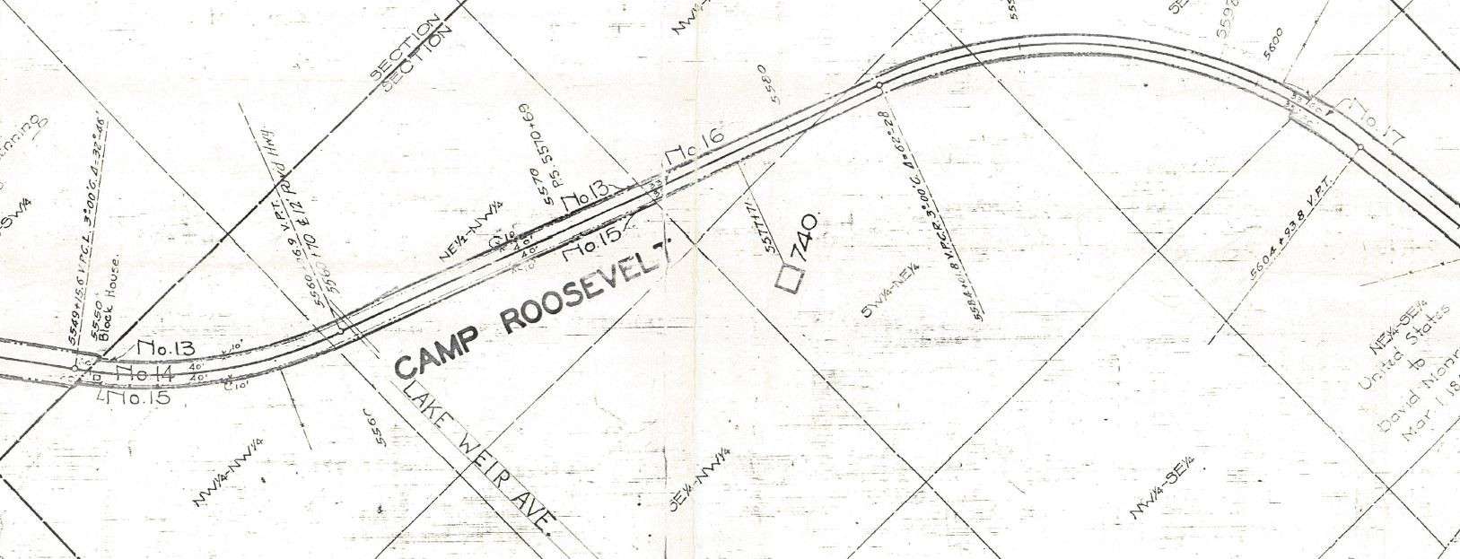
The Val Map I’m following (and others I’ve seen) use the following acronyms for PC. “VPCR” & “VPCL” at point of curvature and uses exclusively VPT at point of tangency. I can deduce that the “L” or “R” at the end means left or right, as it matches the map/direction of stationing. I can’t make sense of the “V”. Most info I’ve found relates to vertical curves, but stating this on the Val Map makes no sense, as there’s no other information to accompany a vertical curve. I’ve attached a screenshot which shows two individual curves. Any railroad experts out there, please help a guy out!
Thanks in advance!
-CDM

Log in to reply.